Mexico City is home to almost 10 million people. In a city of that size, public transport is no longer simply a way to get from A to B. It becomes social infrastructure. It can quite literally determine where you work, which shops you use, which school your children can attend, or which clinic you can reach when you need one.
For many people in the Iztapalapa district, the problem was not the distance to the rest of the city: traffic, steep streets, and several transfers could turn a relatively short distance into a 75- or 80-minute trip. Then, in 2021, Cablebús Line 2 opened. The cable car connected hillside neighborhoods to the metro network and cut the journey to around 36 minutes. More jobs came within a reasonable commute. So did schools, hospitals, shops, and other parts of the city that had previously been difficult to reach. The areas around the new stations changed too, as public spaces were improved and new commercial activity emerged around passenger flow.
A few kilometers of transport infrastructure had changed more than travel time; they had changed the size of the city available to the people living there.
But cities do not have to change public transport only by building new lines or adding more vehicles. Increasingly, they can also change how the existing system works through software, data, and connected technologies, opening the way to urban mobility.
A transport network is only as manageable as it is visible
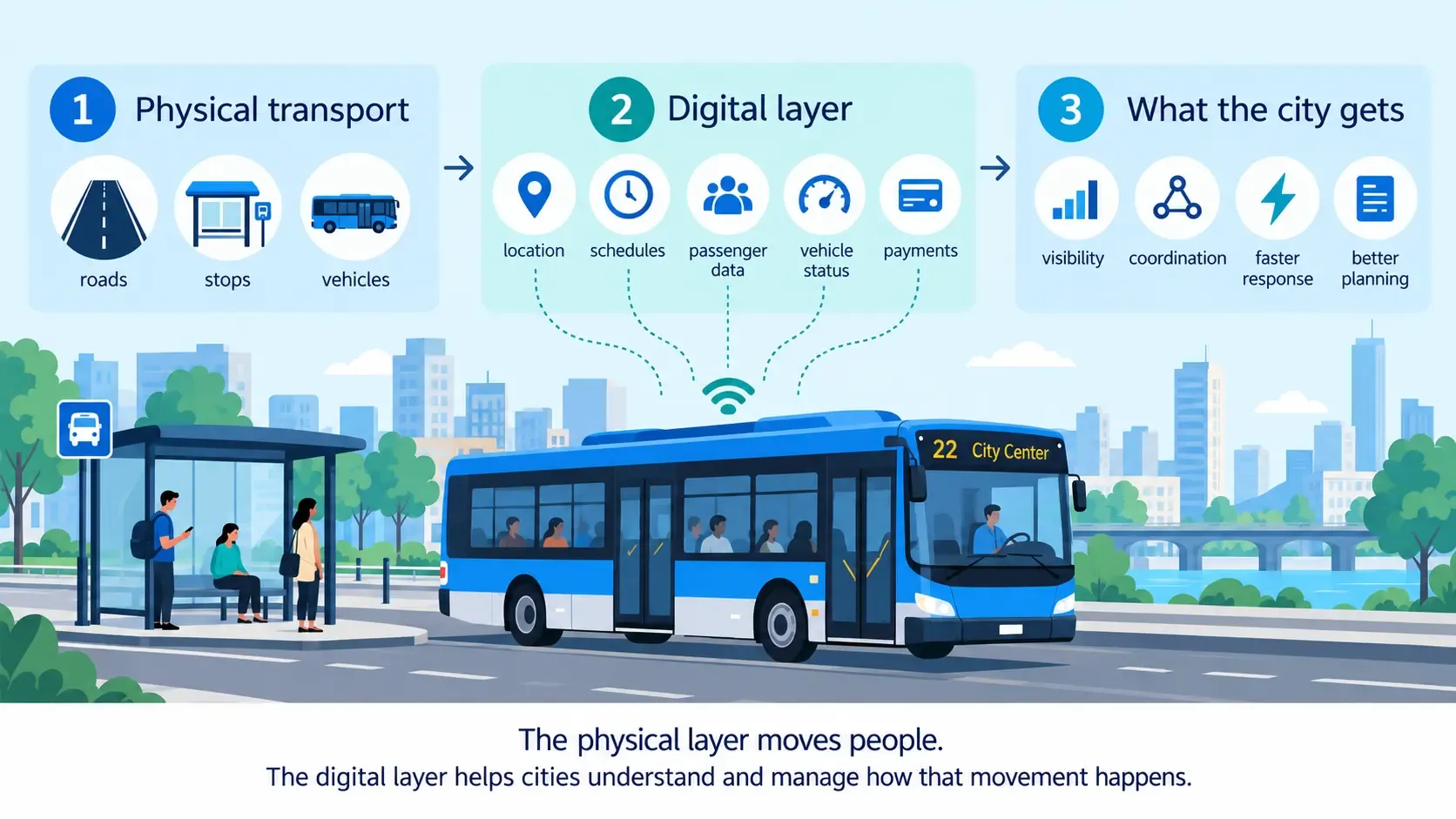
For a long time, public transport was managed largely through fixed schedules, dispatcher calls, paper logs, and reports compiled after the fact. Operators knew what was supposed to happen; they had far less visibility into what was actually happening across the network at any given moment.
Telematics changed that. Vehicles stopped being standalone machines and became part of a connected fleet, constantly reporting where they are, how fast they're going, whether they're on route, how the driver is handling the wheel, how much fuel or energy they're using, what shape they're in technically, and plenty more.
Passengers never see most of that stuff. What they do see is the result: a display at the stop, a live schedule and arrival time in an app, a digital payment, and an emergency button on board.
Nobody waiting for a bus thinks about the system behind it. They just notice that the bus really does arrive in six minutes, that the route info is right, that a delay shows up in the app before they're standing in the rain, and that help is a button press away if something goes wrong.
The physical mobility layer determines where a city can move. The digital layer increasingly determines how well it moves.
From connected fleets to connected transport systems
At the city level, telematics stops looking like a fleet management tool and starts functioning as part of urban infrastructure. It can solve a specific operational problem, or it can reshape the way public transport is managed as a whole.
Across the transport projects built on Gurtam software, two patterns have emerged. Some start small and stay focused on one thing, like showing passengers where the bus is, improving safety, or making dispatch more accurate. Others go wide: routes, vehicles, drivers, maintenance, and municipal systems all working from the same place.

One example of the latter is Eskişehir, where the goal was to manage public transport as a unified municipal infrastructure rather than as a collection of separate operational elements.
Using Wialon as the core telematics platform, the municipality integrated real-time vehicle tracking with route and schedule management, driver behavior analysis, fuel monitoring, maintenance, historical analytics, and municipal systems. Traffic accidents decreased by 30%, while fuel consumption fell by 13%. The result was a transport network that could be monitored and managed as one system rather than as separate fleets and processes.
Other projects solve much narrower problems, but those problems can still be critical to how a transport system works.
In Georgia, Georgian Railway needed much greater positioning accuracy than GPS alone could provide. GPS and RFID data were integrated with Wialon and a custom dispatch system to give dispatchers precise, continuously updated information across more than 400 trains.

A similar principle applies in shared mobility, where the challenge may be less about managing routes and more about keeping thousands of connected vehicles reliably online. Check, a shared mobility operator in the Netherlands, faced exactly that problem when it needed to migrate around 3,000 Segway mopeds to a new IoT backend without disrupting service.
The hardest part of moving a fleet is usually the part nobody sees: how vehicles talk to the software. Check handed that job to flespi, Gurtam's telematics backend platform, which relays telemetry and commands to Check's own systems. No rebuilt communication layer, no paused rides. The fleet just moved.
None of this infrastructure is visible to users, but every vehicle status update, unlock command, and connection between the moped and the app depends on it working in the background.
Put together, technologies like these are building the digital infrastructure around how people move. They connect vehicles, operators, passengers, and city systems that used to work much more independently. And as cities grow, whether they have ten thousand residents or ten million, that connected mobility infrastructure becomes part of what allows them to keep functioning. As one of the fleet telematics technology providers working across public transport and connected mobility, Gurtam provides the technology and ecosystem that allows local partners to connect these pieces and build solutions for specific transport environments.
The next step: from individual systems to integrated urban mobility
The next shift is happening at the city level. Transport systems are increasingly expected to exchange data and work together. Public transport, shared mobility, traffic management, passenger information, and payments: all of it increasingly needs to enable information exchange and operate as a single urban mobility system.
Europe already treats this as its own field. EIT Urban Mobility initiative connects cities, public authorities, researchers, transport operators, startups, and technology companies around a single problem: making urban mobility easier to connect and integrate. Their work spans public transport, shared mobility, mobility data, and the links between different services.
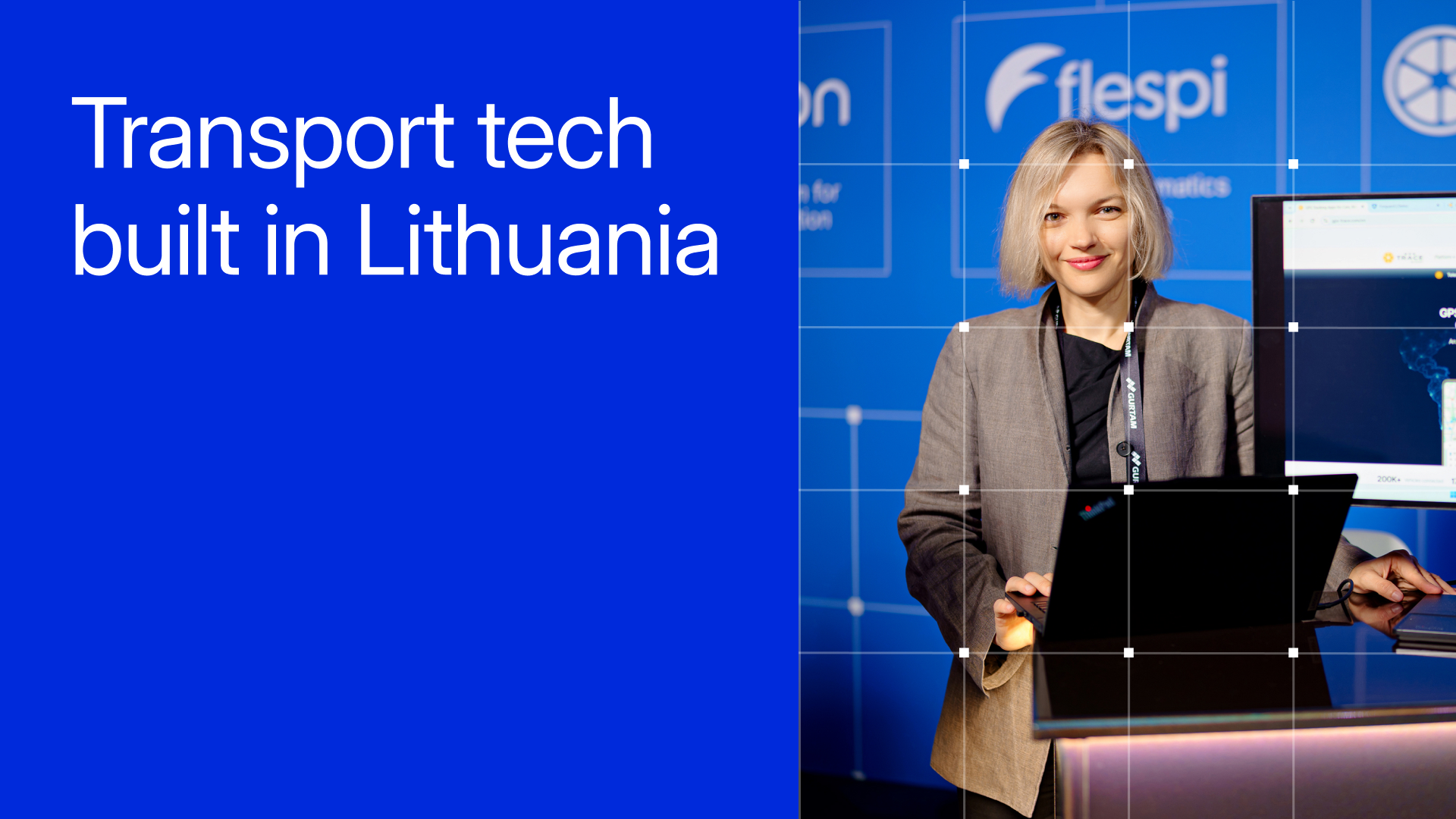
Lithuania is having the same conversation. Urban mobility and transport digitalization are regular topics at the Transport Innovation Forum in Vilnius, organized by the Transport Innovation Association. Gurtam joined the association in 2025 and has taken part in the forum as a Gold Partner. In 2025, EIT Urban Mobility also joined, and the agenda covered autonomous and sustainable mobility, AI, digitalization, and how cities and private technology companies can work together.
For Gurtam, this is a natural extension of what telematics has done for years: connect vehicles and turn their data into something operators can use. What's changing is the scale. The vehicle is now one data source among many, and the fleet is one piece of a much larger mobility system.
That wider role was recognized at the eMobility Innovation Awards in Málaga in March 2026, where Gurtam received the Best Public Sustainable Mobility Solution award for the Eskişehir public transport project. The project treats urban transport as a single connected municipal system rather than a set of separate vehicles and processes.
Gurtam's role is to provide the technology and ecosystem that lets local partners connect these pieces and build solutions for their own transport environments.